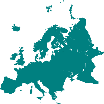
File:Cartography of Europe.svg

Size of this PNG preview of this SVG file: 350 × 351 pixels. Other resolutions: 239 × 240 pixels | 479 × 480 pixels | 766 × 768 pixels | 1 021 × 1 024 pixels | 2 042 × 2 048 pixels.
Original file (SVG file, nominally 350 × 351 pixels, file size: 31 KB)
File history
Click on a date/time to view the file as it appeared at that time.
| Umhla/ixesha | Thumbnail | Dimensions | User | Khawuphawule | |
|---|---|---|---|---|---|
| Ngoku | 13:59, 24 EyoKwindla 2021 |  | 350 × 351 (31 KB) | PastelKos | Reverted to version as of 23:02, 23 May 2020 (UTC) so as to match with the other "cartography of ___" maps |
| 12:53, 21 EyoMqungu 2021 |  | 350 × 351 (31 KB) | Est. 2021 | Reverted to version as of 15:33, 6 January 2010 (UTC) | |
| 23:02, 23 Inyanga kaCanz... 2020 |  | 350 × 351 (31 KB) | Sittaco | Reverted to version as of 00:20, 12 September 2009 (UTC) | |
| 15:33, 6 EyoMqungu 2010 |  | 350 × 351 (31 KB) | Hayden120 | Changed colour to blue; a colour commonly associated with Europe. It also matches the style of 'Portal:Europe' on the English Wikipedia. | |
| 00:20, 12 Eyo Msintsi 2009 |  | 350 × 351 (31 KB) | TownDown | {{Information |Description={{en|1=x}} |Source=Own work by uploader |Author=TownDown |Date= |Permission= |other_versions= }} Category:svg |
Ukusetyenziswa kwale file
Akukho maphepha asebenzisa ezi nkcukacha
Global file usage
The following other wikis use this file:
- Usage on ar.wikipedia.org
- بوابة:ألمانيا
- بوابة:ألمانيا/بوابات شقيقة
- بوابة:إيطاليا
- بوابة:إيطاليا/بوابات شقيقة
- بوابة:فرنسا
- بوابة:إسبانيا
- بوابة:النمسا
- بوابة:البرتغال
- بوابة:سويسرا
- بوابة:كرواتيا
- بوابة:كرواتيا/شقيقة
- بوابة:بلغاريا
- بوابة:بلغاريا/شقيقة
- بوابة:المجر
- بوابة:المجر/شقيقة
- ويكيبيديا:مشروع ويكي الاتحاد الأوروبي
- بوابة:النمسا/شقيقة
- بوابة:اليونان
- بوابة:اليونان/شقيقة
- بوابة:الدنمارك/بوابات شقيقة
- بوابة:الدنمارك
- بوابة:رومانيا/بوابات شقيقة
- بوابة:رومانيا
- بوابة:ألبانيا/بوابات شقيقة
- بوابة:ألبانيا
- بوابة:مقدونيا الشمالية/بوابات شقيقة
- بوابة:مقدونيا الشمالية
- بوابة:صربيا/بوابات شقيقة
- بوابة:صربيا
- بوابة:البلقان/بوابات شقيقة
- بوابة:البلقان
- بوابة:كوسوفو/بوابات شقيقة
- بوابة:الجبل الأسود/بوابات شقيقة
- بوابة:الجبل الأسود
- بوابة:كوسوفو
- بوابة:البرتغال/بوابات شقيقة
- بوابة:المتوسط
- بوابة:المتوسط/بوابات شقيقة
- بوابة:ألبانيا/شقيقة
- بوابة:إسبانيا/بوابات شقيقة
- بوابة:سويسرا/بوابات أخرى
- بوابة:فرنسا/بوابات شقيقة
- بوابة:دورتموند
- بوابة:دورتموند/بوابات شقيقة
- Usage on bn.wikipedia.org
- Usage on cs.wikipedia.org
- Usage on de.wikipedia.org
- Usage on el.wikipedia.org
View more global usage of this file.


